TU professor talks hurricanes
A Q&A with CLA professor Todd Moore ahead of the 2018 hurricane season
By Megan Bradshaw on June 1, 2018
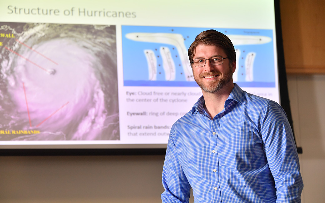
Towson University College of Liberal Arts professor Todd Moore studies meteorology and severe weather climatology and hazards. With another hurricane season on the horizon, he answered questions about the storms and the danger they can pose.
The National Hurricane Center issued three changes ahead of this season: adjustments to the official hurricane track maps, experimental wind maps became official and advisories including potential impacts further in advance. Are these changes a reaction to the destruction wrought last season or is it common for changes like this to be made?
The National Hurricane Center is always looking to improve its ability to forecast tropical storms and hurricanes and to communicate this information to the public. These changes, along with others, undergo trial and error (experimental) periods. I suspect these changes have been in the works for a while.
What factors impact whether a season will be mild or active?
Many different factors are considered when forecasting the number of tropical storms and hurricanes that are likely to occur in any given season. Two commonly considered and important factors are the El Niño/Southern Oscillation and sea surface temperature.

The El Niño/Southern Oscillation is important because wind shear—change in wind speed and/or direction with height—changes with the different phases of the oscillation. Strong shear is common above the Gulf of Mexico, Caribbean Sea, and Atlantic Ocean during the El Niño phase of the El Niño/Southern Oscillation. This is bad for hurricane numbers because the shear keeps the storms from organizing.
El Niño/Southern Oscillation forecasts show that most of this hurricane season will be neutral conditions, which is a primary factor in the issuance of above-normal activity this season. Neutral conditions were present in 2017 also. With that said, some models show that El Niño conditions could emerge in mid-to-late parts of the season, which could lower the number of storms that are able to organize.
Sea surface temperature is important because the oceans provide the energy for tropical storms and hurricanes. Warmer sea surface temperatures allow these storms to become stronger, all else being equal. Sea surface temperatures are currently slightly above normal across most of the western Atlantic (including the Gulf of Mexico and Caribbean). Sea surface temperatures were also warmer than normal last year, more so than this year.
Are the winds the most dangerous/damaging part of the hurricane or are there other aspects that hold as much or more danger for people living in impact areas?
Fast winds are dangerous, but inland flooding and storm surge cause most direct hurricane-related fatalities. Hurricanes also produce tornadoes, which can be very damaging and lethal. Fatalities also result from non-direct hazards. One of the leading non-direct hazards is carbon monoxide poisoning and/or asphyxiation. Portable generators that people use while power is out are often the source of the carbon monoxide.
Puerto Rico recently lost power again after going months without it following Hurricane Maria. Is the island ready for another hurricane season? What preparations are possible?
Another landfall in Puerto Rico would further damage infrastructure that is still trying to recover from 2017. Furthermore, much of Puerto Rico is still without power. This would complicate communication efforts if another storm moves toward Puerto Rico, meaning that many people would be unaware and unprepared.