Reach out for a consultation
Explore how our team can help your organization maximize the power of its data.
The Center for GIS helps organizations create accessible, user-friendly maps and applications that make geographic information available to everyone, regardless of ability or technology.
Maps and web-based applications are inherently visual and interactive mediums and rely heavily on visual and interactive design. This can unintentionally exclude users who depend on assistive technologies or alternative ways of experiencing content.
The Center for GIS works with clients to ensure mapping projects are accessible by people with diverse physical, sensory and cognitive abilities by addressing these issues:
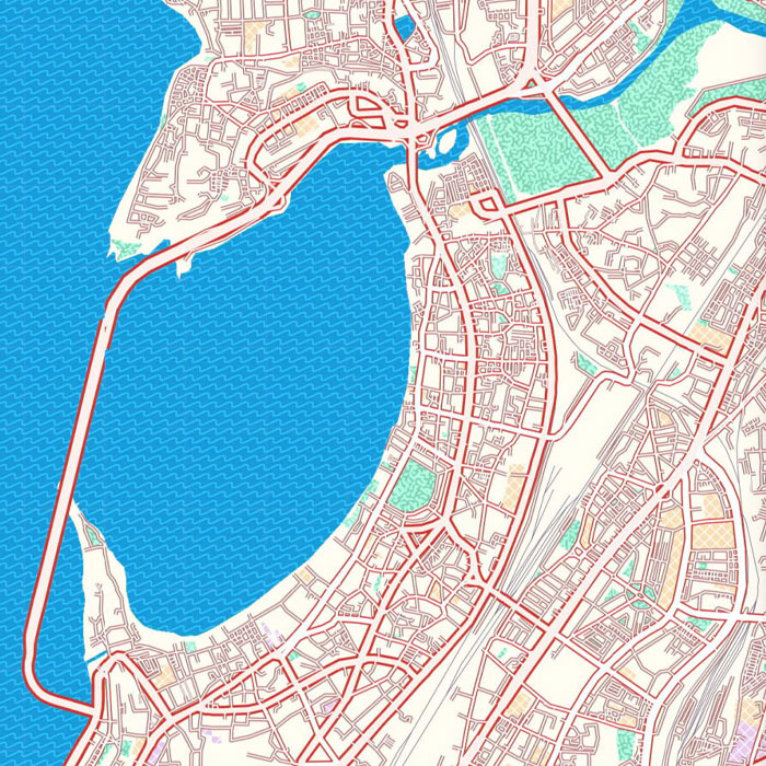
Explore tools, guides and references that support digital accessibility guidelines and improve user experience.
Explore Resources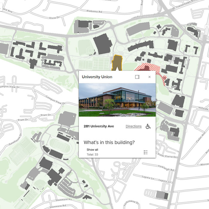
CGIS developed interactive web maps of campus that adhere to accessibility guidelines.
View Maps
The state is fostering more inclusive information technology tools and services for all Marylanders.
Learn About the Policy